The Karabagh File. Documents and Facts, 1918-1988
The Karabagh File. Documents and Facts, 1918-1988

First Edition, Cambridge Toronto 1988
By the ZORYAN INSTITUTE
Edited by: Gerard J. LIBARIDIAN
In late February 1988, the world was shocked by a week-long series of demonstrations in Yerevan, capital of the Armenian S.S.R., one of the fifteen republics of the Soviet Union. Although peaceful, the place, size, length, and apparent suddenness of the demonstrations brought to world consciousness names of people and places as intractable as the issues they embody. The sights and sounds of hundreds of thousands of demonstrators seeking to influence policy makers in the central government of the U.S.S.R. and bring about changes in internal boundaries highlighted the promise and challenge of glasnost and perestroika. The question of Mountainous Karabagh also raised the thorny issue of Soviet nationalities policy.
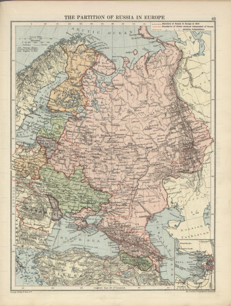
read moreLondon-geographical-institute the-peoples-atlas 1920 the-partition-of-russia-in-europe
Mideast1920

1865 Spruner Map of the Caucasus and Iraq in Antiquity

1724 De L’Isle Map of Persia (Iran, Iraq, Afghanistan) – Geographicus

1720 Weigel Map of the Caucuses including Armenia, Georgia, and Azerbaijan

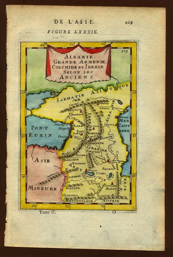
Map of ancient Albania, Description de L’Universe (Alain Manesson Mallet, 1683)
1579 Gerard Mercator. Tabula Asiae III
![Gerard Mercator: Tabula Asiae III [Armenia, Georgia, Turkey, etc.]](https://karabakhfacts.com/wp-content/uploads/2012/06/Gerard_Mercator._Tabula_Asiae_III_Armenia_Georgia_Turkey_etc.._1579-1024x820.jpg)


_-_Geographicus_-_Persia-delisle-1724.jpg)
.jpg)